Sale on canvas prints! Use code ABCXYZ at checkout for a special discount!

Previous Image

|

Next Image
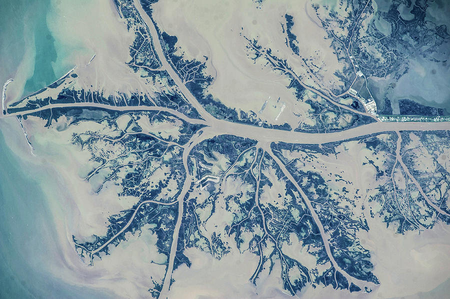
Satellite View Of Mississippi River Photograph by Panoramic Images

Similar Images

Close-up Of A World Map #1 by Panoramic Images
Satellite View Of Turks And Caicos by Panoramic Images
Satellite View Of Cape Cod National #1 by Panoramic Images
Satellite View Of Cape Cod National #4 by Panoramic Images
Large Street Map And Infopunkt by Panoramic Images
Map Of The Arabia In Palazzo Vecchio by Panoramic Images
Satellite View Of Cape Canaveral by Panoramic Images
Satellite View Of Salt Evaporation #1 by Panoramic Images
Satellite View Of Cape Cod Area by Panoramic Images
Satellite View Of San Francisco by Panoramic Images
World Map by Panoramic Images
Map With Communication Lines by Panoramic Images
Flat World Map On Blue Background by Panoramic Images
Map Of The World With Blue Trail by Panoramic Images
Map Of World From Goodes Homolosine by Panoramic Images
Map Of World From Goodes Homolosine #1 by Panoramic Images
Close-up Of Map Of World by Panoramic Images
Map Of Three Earth by Panoramic Images
Satellite View Of Ponte Vedra Beach by Panoramic Images
Night Time Satellite Image Of Atlanta by Panoramic Images

Comments

There are no comments for Satellite View Of Mississippi River.   Click here to post the first comment.

Recently Viewed

Satellite View Of Mississippi River by Panoramic Images
Previous Image Next Image